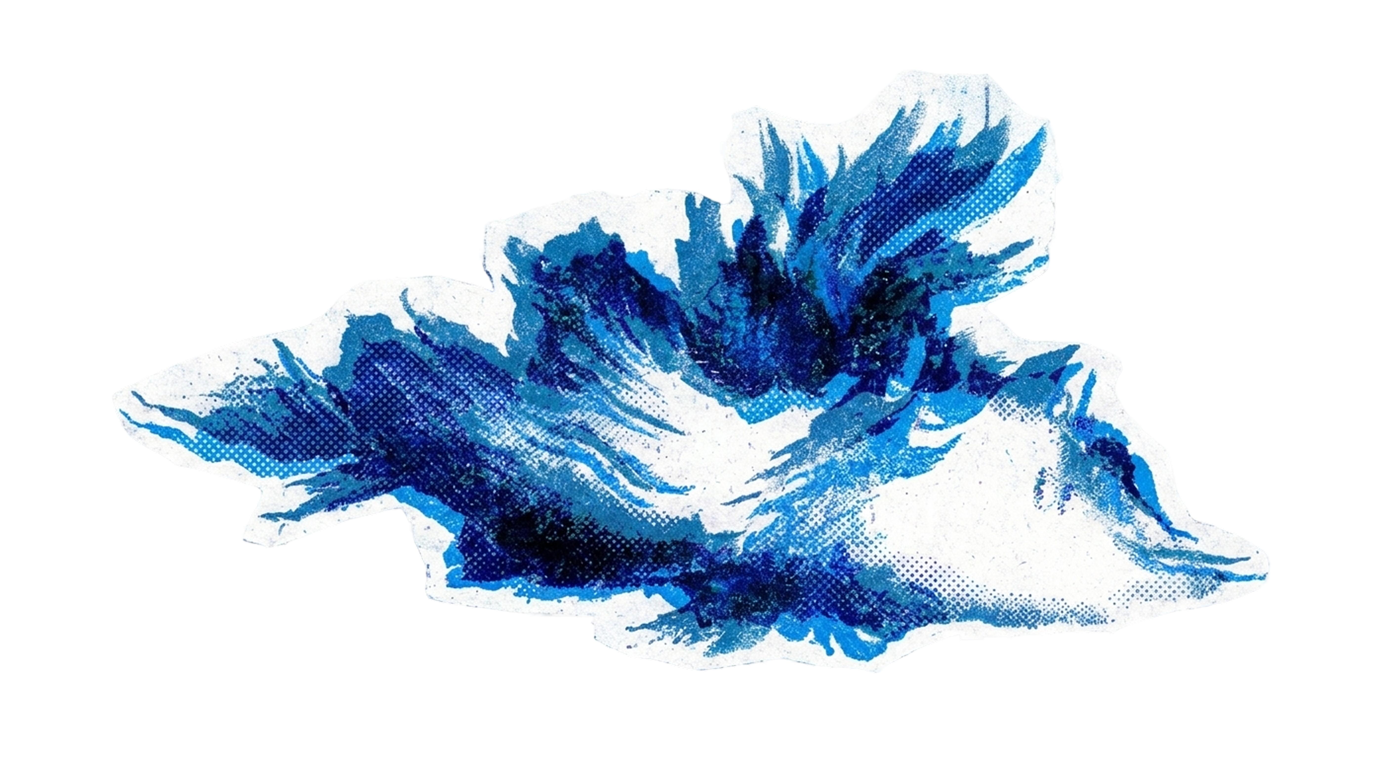
Cirrus
16,500 - 45,000 ft (5,000 - 13,700 m)
“Cirrus clouds don't take it serious”— Jim Baruffi
Cirrus clouds are the delicate wisps of the cloud world, painted across the sky like brushstrokes from some celestial artist who couldn't quite decide where to stop. These ethereal formations exist at altitudes where the air is so cold that they're made entirely of ice crystals, which is what gives them that distinctive silky, hair-like appearance.
The name comes from the Latin word for "curl of hair," and once you know that, you'll never unsee it. They're the clouds that make you stop mid-step on an ordinary Tuesday and look up, wondering if someone's been writing secret messages across the sky.
When cirrus clouds start to thicken and lower, they're often the first whisper of approaching weather changes—a gentle heads-up from the atmosphere that something's brewing on the horizon.
things worth knowing
- Cirrus clouds form at altitudes above 20,000 feet where temperatures drop below -40°C
- Their wispy tails always point in the direction the wind is blowing at that altitude
- They can spread across the entire sky yet weigh almost nothing due to the sparse ice crystals
- Pilots call the streaky cirrus patterns "mare's tails" because they resemble flowing horse hair
weather wisdom
Often precede warm fronts; thickening cirrus can indicate rain within 24-48 hours