Cirrocumulus
16,500 - 40,000 ft (5,000 - 12,000 m)
“Mackerel sky, mackerel sky, never long wet, never long dry”— Traditional weather saying
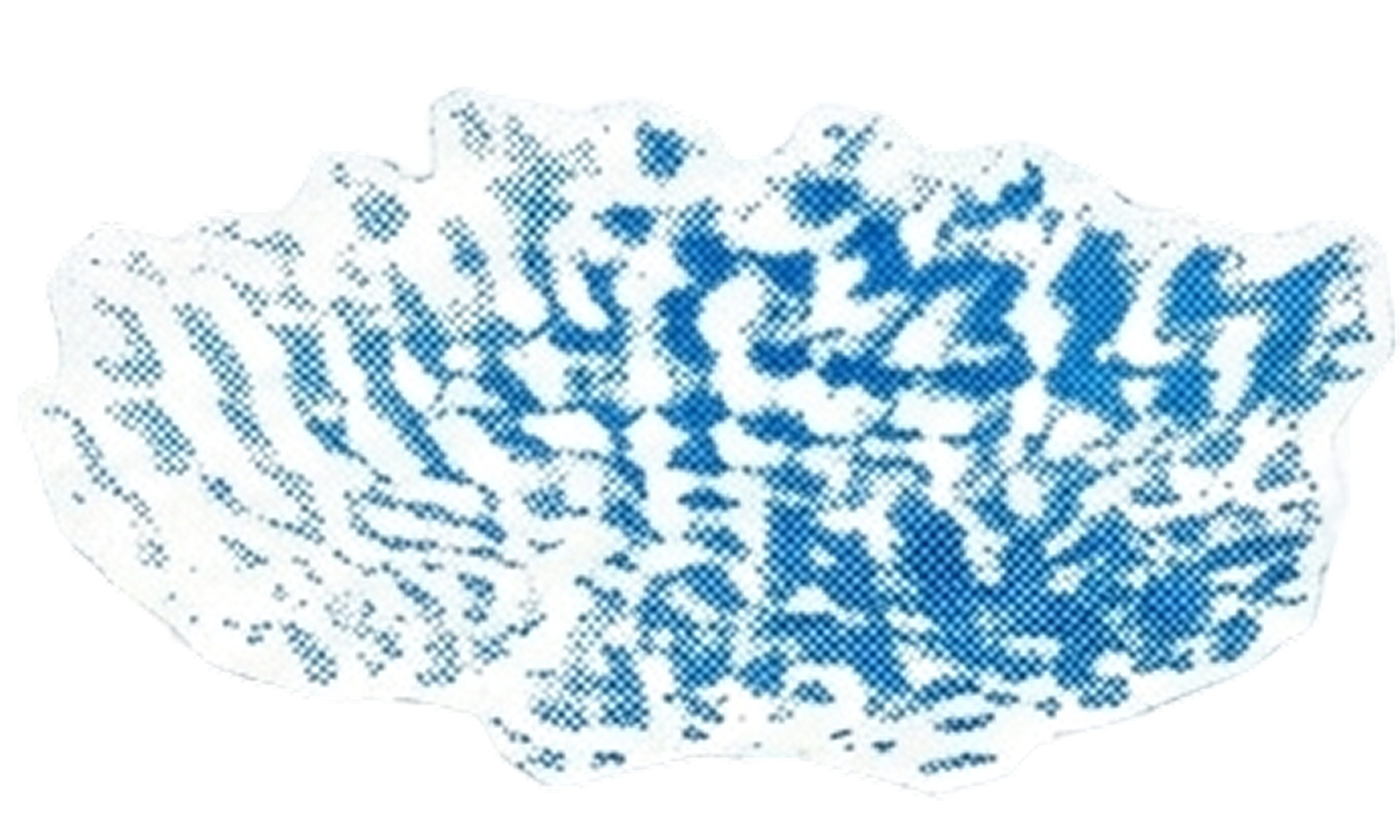
Cirrocumulus clouds look like someone scattered tiny white pebbles across a pale blue pond. These high-altitude formations create what sailors have long called a "mackerel sky" because the pattern resembles the scales on that particular fish—and if you squint a bit, you'll see exactly what they mean.
Each little cloudlet in a cirrocumulus formation is no bigger than your finger held at arm's length. They're made of supercooled water droplets that haven't quite committed to becoming ice crystals yet, hovering in that peculiar in-between state that physics allows at extreme altitudes.
Unlike their cirrus cousins, cirrocumulus clouds are relatively rare and don't stick around for long. They're the fleeting guests at the sky's party, often transforming into cirrus or cirrostratus within minutes.
things worth knowing
- Individual cloudlets must be less than 1 degree wide (about a finger width at arm's length) to qualify as cirrocumulus
- A mackerel sky typically lasts less than 15 minutes before transforming
- They never produce precipitation that reaches the ground
- Cirrocumulus is one of the rarest cloud types to observe
weather wisdom
Generally indicates fair weather, though can precede stormy conditions